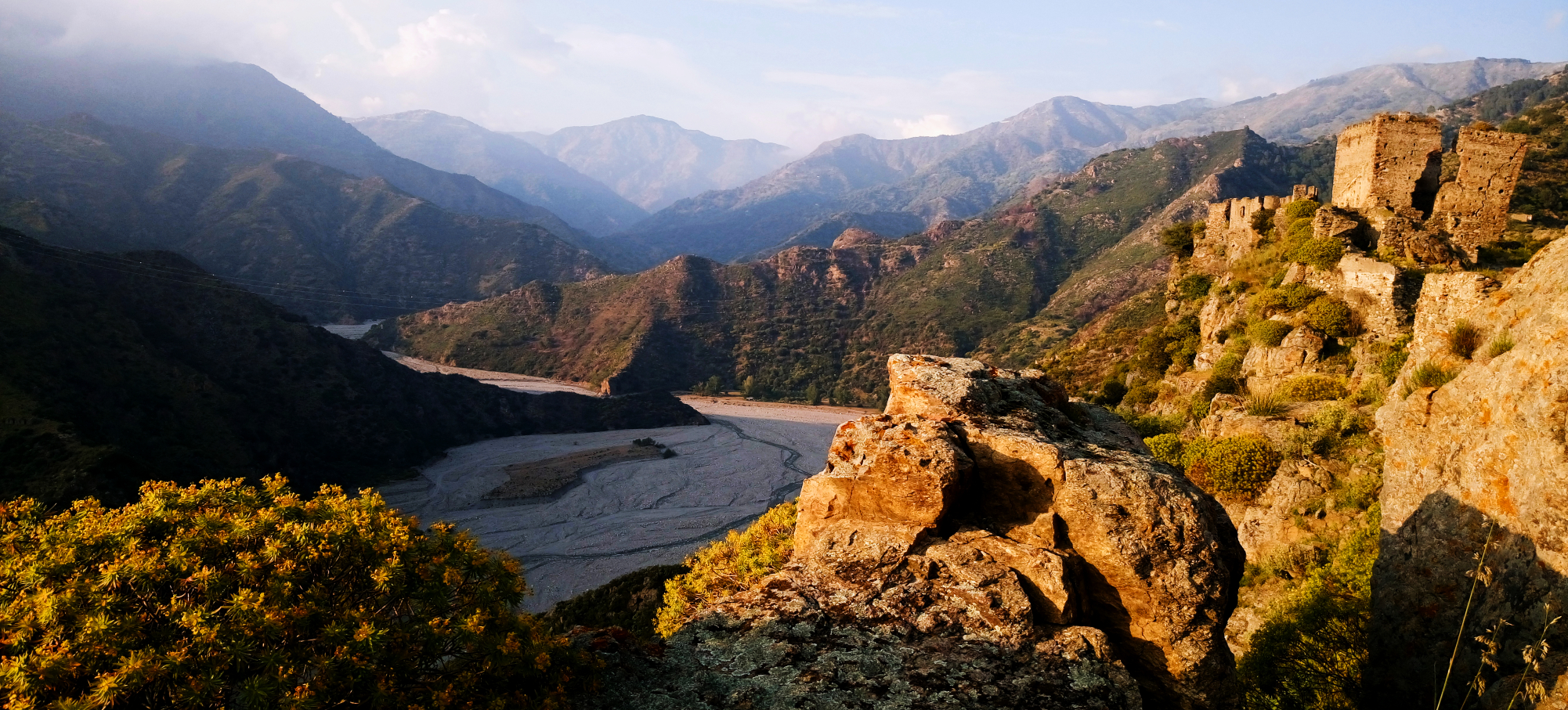
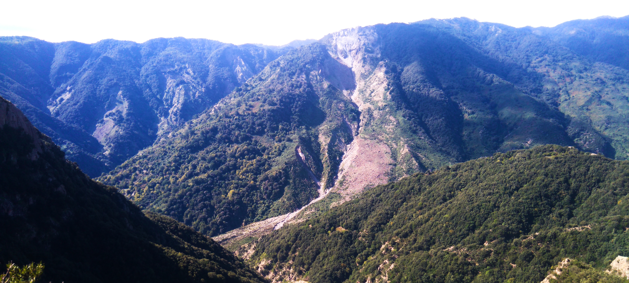
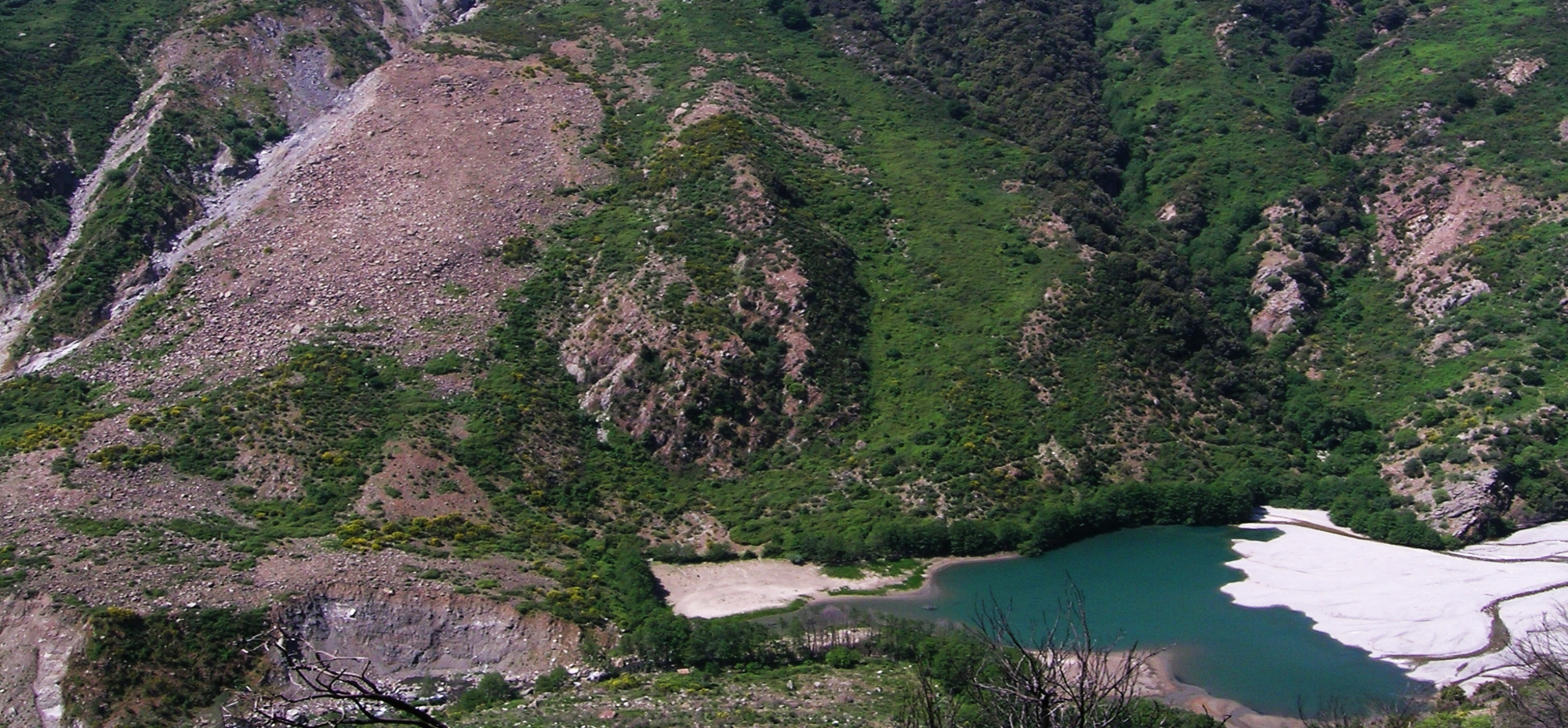
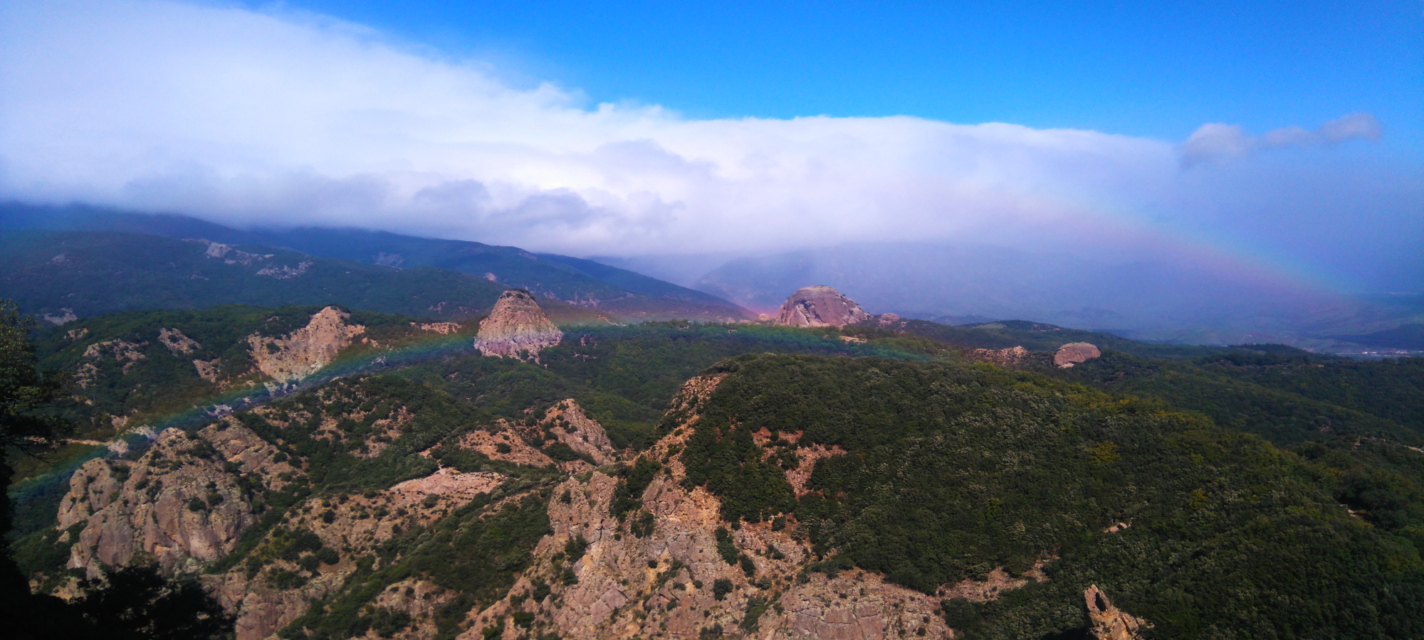
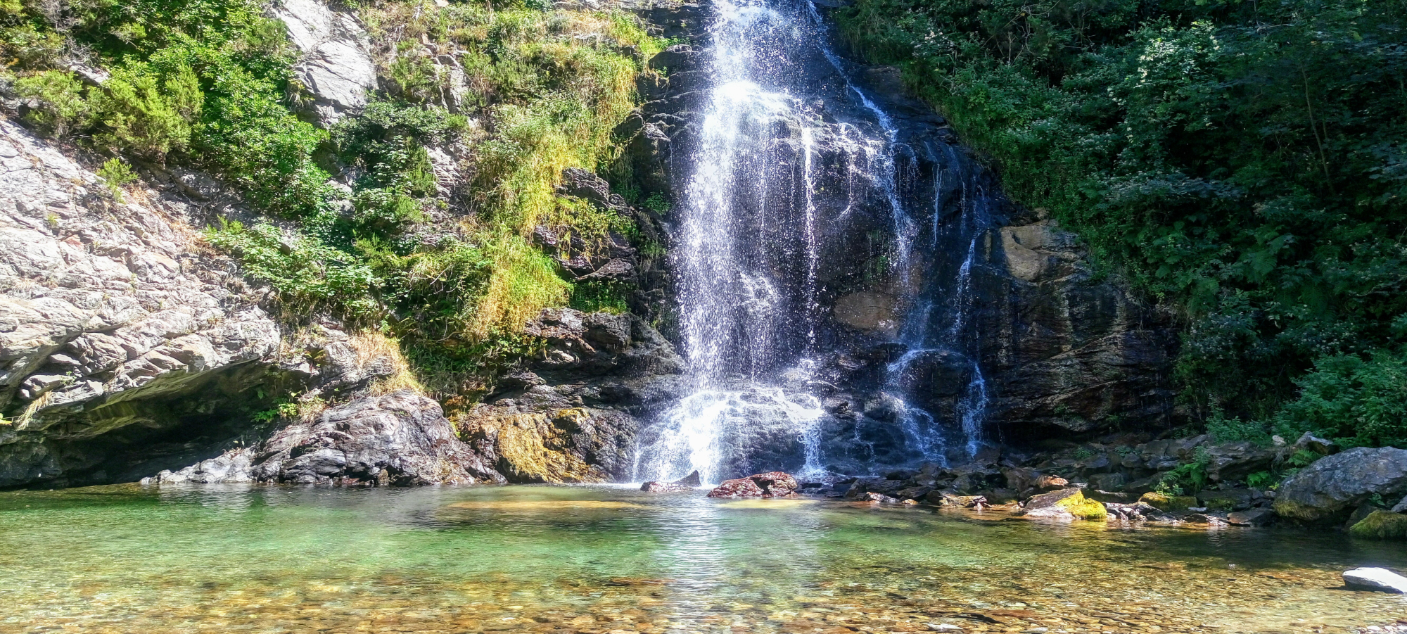
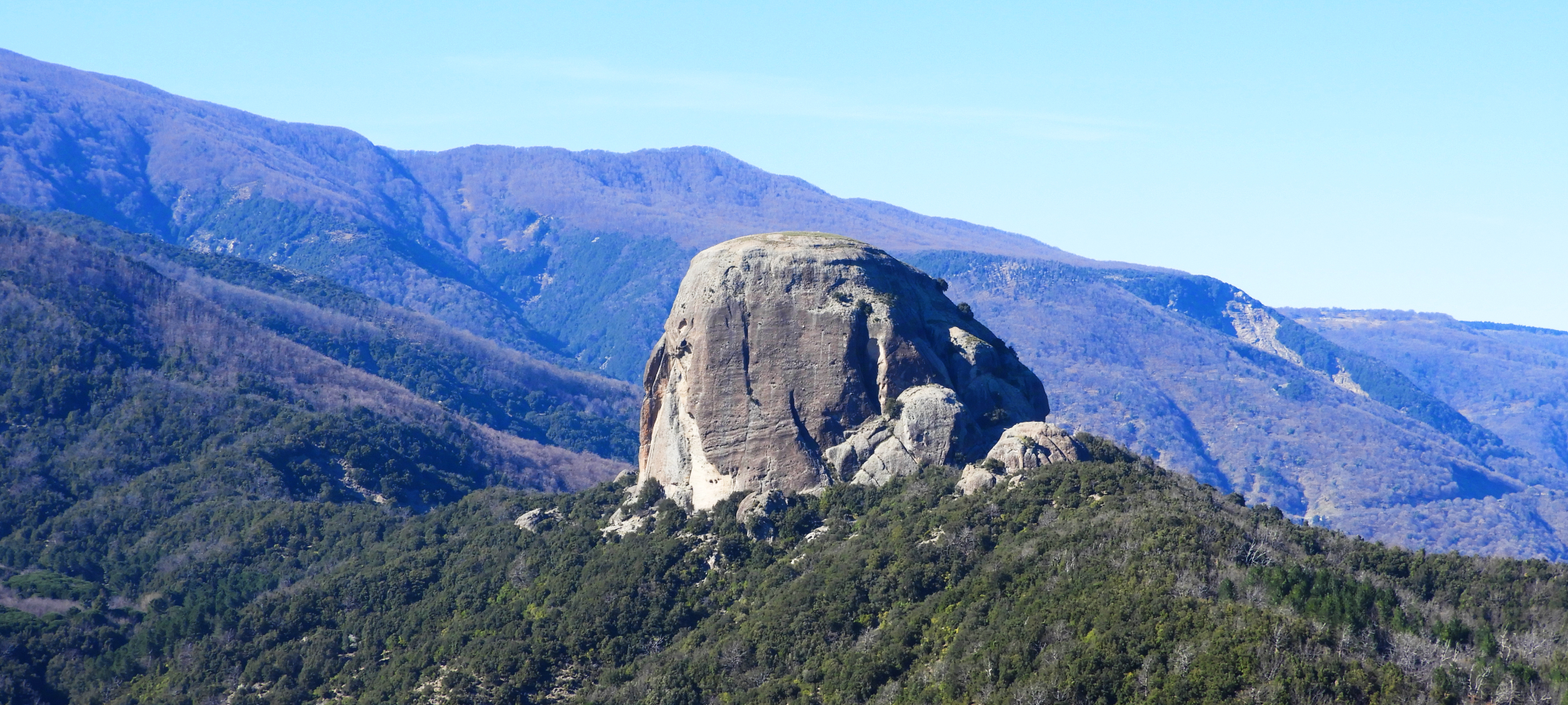
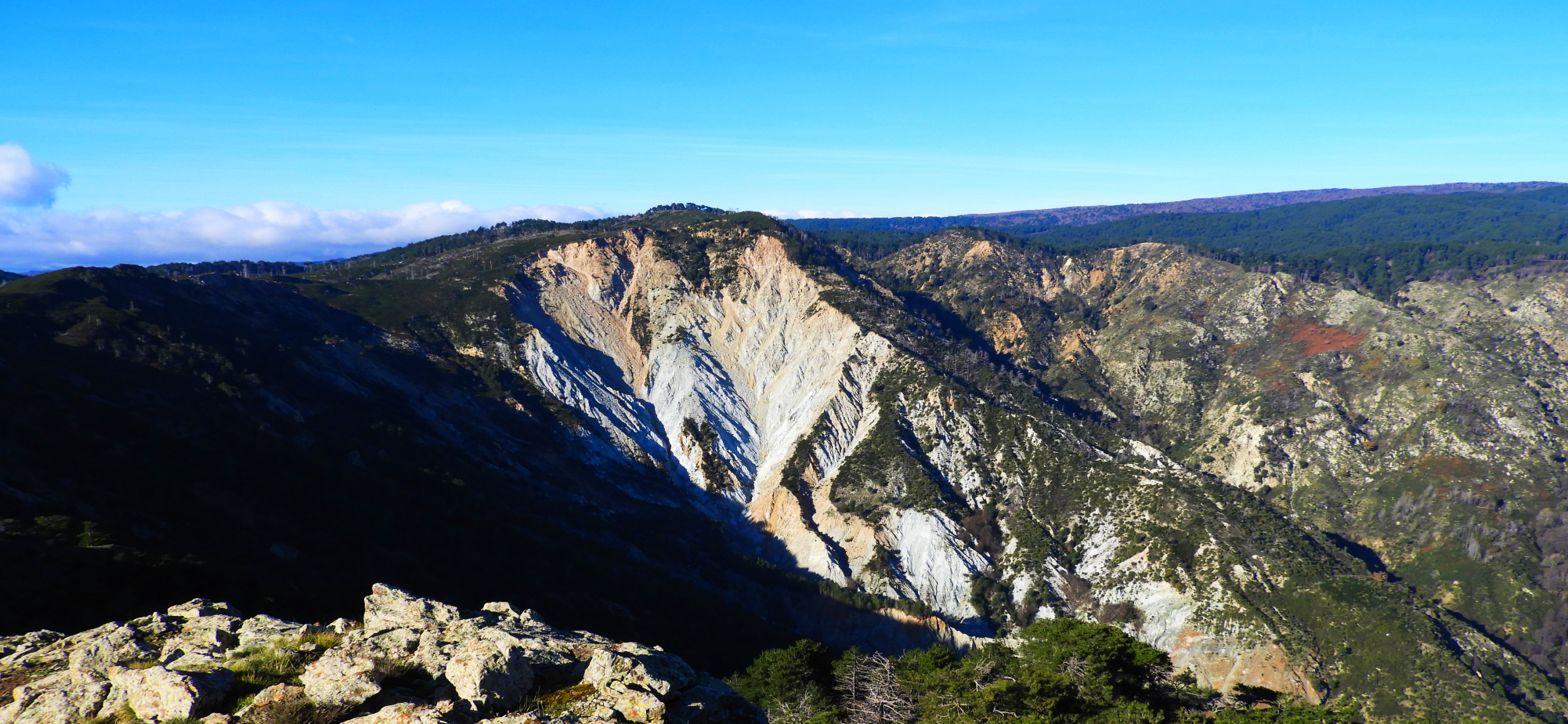
The first important date of the Aspromonte Geopark is that of its official application to UNESCO Global Geoparks Network; March 2, 2017. The official designation acquired on April 22, 2021 is the complete expression of years of work that aimed to enhance and therefore qualify a park that is already extraordinary in richness and diversity. In fact, the Geopark coincides perfectly at the moment with the area of the Aspromonte National Park, the corrugated rocky massif whose highest peak is Montalto, which reaches 2000 m above sea level. It includes 37 municipalities covering an area of 64,645 hectares.
The Aspromonte Geopark is entirely located in the province of Reggio Calabria, Southern Italy, precisely in the final part of the peninsula, embedded in the system called “Calabria-Peloritani Orogene”. It borders with the Limina Pass to the North (from the Latin limen, border), outpost of the Serre Calabresi, with the Ionian Sea to the East and South, with the Strait of Messina to the South West and with the Tyrrhenian Sea to the West.
The Aspromonte Geopark is characterized by extreme landscape, geological and environmental diversity. There are many slow and natural processes that together with unique historical-cultural realities continue to determine what are the peculiarities of this geopark. A mountain with such a strong “geological identity” that it has a decisive impact on other undergoing transformation processes.

